

Fourteen years of teaching have shaped a navigation programme built to replace the anxiety of being lost with the quiet confidence of knowing where you are.
Contour lines and satellite imagery are only part of it. Moss on a boulder, the angle of afternoon shadows, the prevailing wind — all of it becomes a navigational tool once you know how to read it.
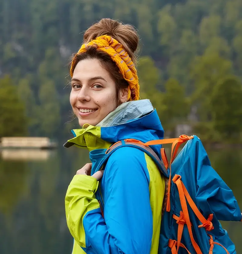
Elena's interest started on childhood summers in the Sierra Nevada, finding her way by landmark and sun position long before she owned a compass.
Formal study in geography and environmental science followed, alongside national-level orienteering competition and certification as a licensed land surveyor before she moved into outdoor education full time.
A GPS tells you where you are. Navigation is knowing where you are when it stops working.
The curriculum builds from the ground up: scale, contour interpretation, and grid references first, then compass work, terrain association, and dead reckoning.
Natural navigation comes last — sun, stars, wind, and vegetation, with no instruments at all. Field exercises run under time pressure, in poor visibility, and with deliberately incomplete information.
Elena has served as navigation lead on multi-week research expeditions in the boreal forests of northern Canada and the canyon systems of the desert Southwest, both places with no trail infrastructure and minimal mapping data to fall back on. That work shapes how she teaches contingency planning, and she draws on it constantly for the real-world examples that make abstract concepts land.